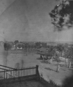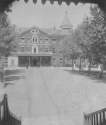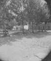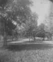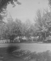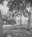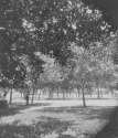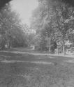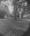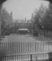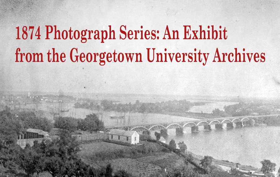
On two occasions in 1874, in April and in July, an unknown photographer under the direction of Librarian and Chaplain John S. Sumner, S.J., walked the Georgetown University grounds taking photographs. The resulting twenty-three images provide a fascinating and at times unrecognizable glimpse of a campus on which only seven buildings stood (the South Building, the North Building, McSherry, Gervase, Mulledy, Maguire, and the Observatory), surrounded by rolling fields and woods. Each photograph is accompanied by original captioning information; explanatory notes by the University Archivist are included for some.
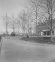
View of the old pump from the walk by the Small Boys Building, now Maguire
April 1874
Archivist's notes: the west side of Old North is seen across the Quandrangle to the right. The level of the Quadrangle was lowered - and the number of steps up to the Old North porch increased - in the early 1890s during the construction of Dahlgren Chapel. Maguire Hall was opened in 1854 to to house the "small boys," as the students of the prep division were known. Younger students remained on campus until 1919 when the Georgetown Preparatory School relocated to suburban Maryland
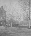
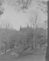
East corner of the Old North Building. View down to the fence along 37th St. Class of 1873-4. Visitation Academy in the distance
April 1874
View of terrace in the rear of the Old North. Back of the Hot-house, and Observatory in the background.
July 1874
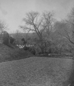
2nd terrace showing part of the grave yard. Also the old circular cistern with a few of the famous old willows.
April 1874
Archivist's note: the graveyard shown is the Jesuit Community Cemetery which was moved to this, its current, location in 1854. The move was required by the construction of Maguire Hall close to its original position. The site selected in 1854 was far from any building on campus as this image illustrates.
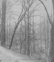
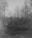
View of the east side of Walks, down the ravine.
April 1874
Archivist's note: the Walks, a series of connected paths around campus which were terraced and landscaped with trees, were laid down by Brother Joseph West in the 1820s. They became an important part of campus life, offering an escape from the restrictions of school discipline. Twentieth Century development on campus, beginning with the building of Copley and White-Gravenor Halls in the 1930s, encroached on the Walks and eventually obliterated them.
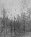
Walks showing the brook and pump house. College and lower end of stream from west side of Walks.
April 1874
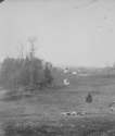
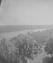
College, river and Virginia shore, sheep. From Mount Echo, N.W.
April 1874
Archivist's note: this photograph was taken from close to the Observatory.
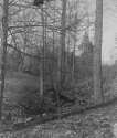
Upper end of ravine, College Walks, rocks near park-seats.
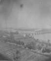
Vegetable garden and tool house, Aqueduct Bridge, Georgetown harbor , Analostan Island, etc. View of the Potomac.
July 1874
Note the bridge carrying the canal - schooners in port - the wide causeway to Analostan Island - the splendid gardens and tool house which are now ball field and tennis courts.
Archivist's notes: the Aqueduct Bridge was removed after Key Bridge opened in 1923 ; Analostan Island is now known as Roosevelt Island.
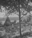
Garden in front of the Old Carroll Building. Infirmary garden. Fort Whipple on Va. Shore, and the Potomac.
July 1874
Archivist's notes: the first building on campus, the South Building, was also known as the Carroll Building after Georgetown's founder John Carroll. The South/Carroll Building was razed in 1904 and Ryan Hall stands on its site today. In 1881, Fort Whipple was redesignated Fort Myer in honor of Brigadier General Albert J. Myer.
Small Boys' play ground, pump shed, Ball alley.
July 1874
The corner shows the steps to the present Maguire Building. College Wall, Mrs Southworth's cottage, and part of Georgetown.
Archivist's notes: the brick structure seen to the left is a handball court or alley. The playing of handball on campus dates back to 1812, when a court was constructed near the present location of Healy Hall. Games, contested by an even numbers of players, would last about twenty to thirty minutes.
South side of Old North, before quadrangle was cut down.
July 1874
Archivist's note: the level of the Quad which was lowered in the 1890s during the construction of Dahlgren Chapel. The small brick building to the left of the porch was the porter's lodge. It was later used as a barber's shop and then a lumber room before it was demolished.
View of the old Ball field and the Decatur Home beyond the wall. Across the Foot-ball Ground.
July 1874
Curated by Lynn Conway, University Archivist

