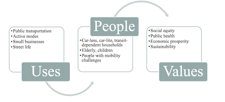
This research uses a case study to examine how the anachronistic norms for governing public space obfuscate the opportunity cost of maintaining current standards of automobility. For many years, the District of Columbia has recognized the need to improve public realm amenities, multimodal transportation, and the retail environment on the mixed-use corridor and key arterial Georgia Avenue NW. However, the city has not succeeded in actualizing its vision of the Avenue as a multimodal destination. The findings problematize the conventions for classifying streets, measuring performance, enforcing standards, and engaging stakeholders that hamper progress towards applying best practices and achieving stated policy aims. In response, this paper proposes recommendations for how to operationalize a more equitable, transparent, and holistic approach to the allocation of public space.
Resources used for the thesis included ArcGIS, Tableau, and the Procreate app to draw schematics and the ScienceDirect database.

